Who's onlineThere are currently 0 users and 0 guests online.
User loginBook navigationNavigationLive Traffic MapNew Publications
|
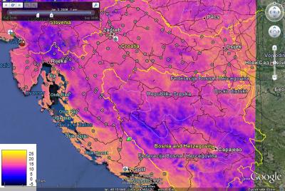
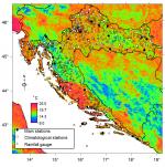
Temperatures at meteo stations (Croatia)
Short title:
HRtemp2006 The temperature measurements automatically collected at 123 meteorological stations for year 2006 and two auxiliary grids at resolution of 1 km. Available layers:
Spatial structure:
proj4:
+proj=utm +zone=33 +ellps=WGS84 +datum=WGS84 +units=m +no_defs
Location:
Croatia
45° 48' 54.018" N, 15° 58' 42.6036" E
Data owner:
Croatian Meteorological and Hydrological Service
|
Testimonials"Hi Tom. I have uploaded some comments on your book. You should check if you are able to run the code on upgraded versions of R. Otherwise fine, nice set of full-scale examples." Poll |


Recent comments
8 years 33 weeks ago
8 years 51 weeks ago
9 years 7 weeks ago
9 years 19 weeks ago