Pedometric mapping: PhD thesis

n 17th September 2003 I have defended a PhD thesis entitled "Pedometric mapping: bridging the gaps between conventional and pedometric approaches" in the auditorioum of the International Institute for Geo-Information Science and Earth Observation (ITC), Enschede, Netherlands. The daily supervisors were Dr. David G. Rossiter from ITC and Dr. Stjepan Husnjak from the Faculty of Agriculture in Zagreb. The thesis promoter was Prof.dr. Alfred Stein from the University of Wageningen. The thesis was assessed by Prof.dr. Alex McBratney, University of Sydney, Prof.dr. Arnold Bregt, Dr. Gerard Heuvelink and Dr. Peter Finke, all from University of Wageningen.
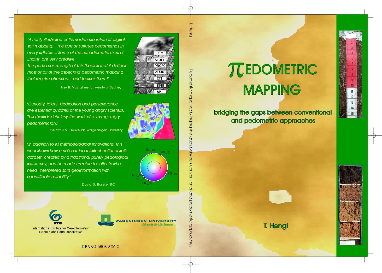
| “ | A richly illustrated enthusiastic exposition of digital soil mapping... The author suffuses pedometrics in every syllable... Some of the non-idiomatic uses of English are very creative... The particular strength of this thesis is that it defines most or all of the aspects of pedometric mapping that require attention... and tackles them! | ” |
| —Alex B. McBratney, University of Sydney | ||
| “ | Curiosity, talent, dedication and perseverance are essential qualities of the young angry scientist. This thesis is definitely the work of a young angry pedometrician | ” |
| —Gerard B.M. Heuvelink, Wageningen University | ||
| “ | In addition to its methodological innovations, this work shows how a rich but inconsistent national soils dataset, created by a traditional purely pedological soil survey, can be made useable for clients who need interpreted soils geoinformation with quantifiable reliability | ” |
| —David G. Rossiter, ITC | ||
The main objective of this thesis was to develop methodology for pedometric mapping that can be used to bridge the gaps between the empirical and automated methods. The PhD thesis was written in English language with summaries in Dutch and Croatian. It contains 252 pages of B5 format, including the 9 chapters from which 7 were produced in form of research articles, 226 references, summary and a short CV. Six chapters from the thesis have been accepted for publication in established scientific journals: Internation Journal of Geoinformation Science, Geoderma, Australian Journal of Soil Research and Soil Science Society of America Journal. The thesis covers seven methodological aspects of soil mapping: sampling, pre-processing, photo-interpretation, interpolation, visualisation and quality control.
The proposed pedometric mapping methodology can be used to enhance the practice of soil mapping making the soil maps more objective, detailed and more compatible for integration with other environmental geo-data. There is no need to use the concept of soil mapping units or use double-crisp soil maps anymore. On the other hand, instead of abandoning photo-interpretation, soil classification or empirical knowledge on soils, these methods can be successfully integrated with pedometric techniques. The abstract of the thesis is available via the Wageningen Dissertation Abstracts database and some supplementary materials via the ITC's library website. Note that some materials are not directly related to the thesis objectives and topics. Please contact me if you would require more info/details.
 |
Please cite as:
- Hengl, T. 2003. Pedometric mapping: bridging the gaps between conventional and pedometric approaches. PhD thesis, Wageningen University, publicly defended on Wednesday 17 September 2003 at 15.00 hrs in the auditorium of ITC, Enschede. -- DOWNLOAD THE COMPLETE THESIS (16 MB)!
 |
|
TABLE OF CONTENT:
- Cover | Title pages | Foreword
- CHAPTER 1 - INTRODUCTION: Topics, motives and outline
- CHAPTER 2 - SAMPLING: Soil sampling strategies for spatial prediction by correlation with auxiliary maps
- CHAPTER 3 - PRE-PROCESSING: Reduction of errors in digital terrain parameters used in soil-landscape modelling
- CHAPTER 4 - PHOTO-INTERPRETATION: Supervised landform classification to enhance and replace photo-interpretation in semi-detailed soil survey
- CHAPTER 5 - INTERPOLATION: A generic framework for spatial prediction of soil variables based on regression-kriging
- CHAPTER 6 - VISUALISATION: A double continuous approach to visualisation and analysis of categorical maps
- CHAPTER 7 - ORGANIZATION: A grid-based soil information system based on the mixed model of spatial variation
- CHAPTER 8 - QUALITY CONTROL: Assessing adequacy and usability of soil resource inventories: The National soil inventory in Croatia
- Summary | Samenvatting | Sažetak
- Propositions | Curriculum vitae | POSTER

|
- PhD defense photographs


